|
| *****SWAAG_ID***** | 474 |
| Date Entered | 22/03/2012 |
| Updated on | 22/03/2012 |
| Recorded by | Stephen Eastmead |
| Category | Mining Related |
| Record Type | Mining |
| Site Access | Public Access Land |
| Record Date | 21/03/2012 |
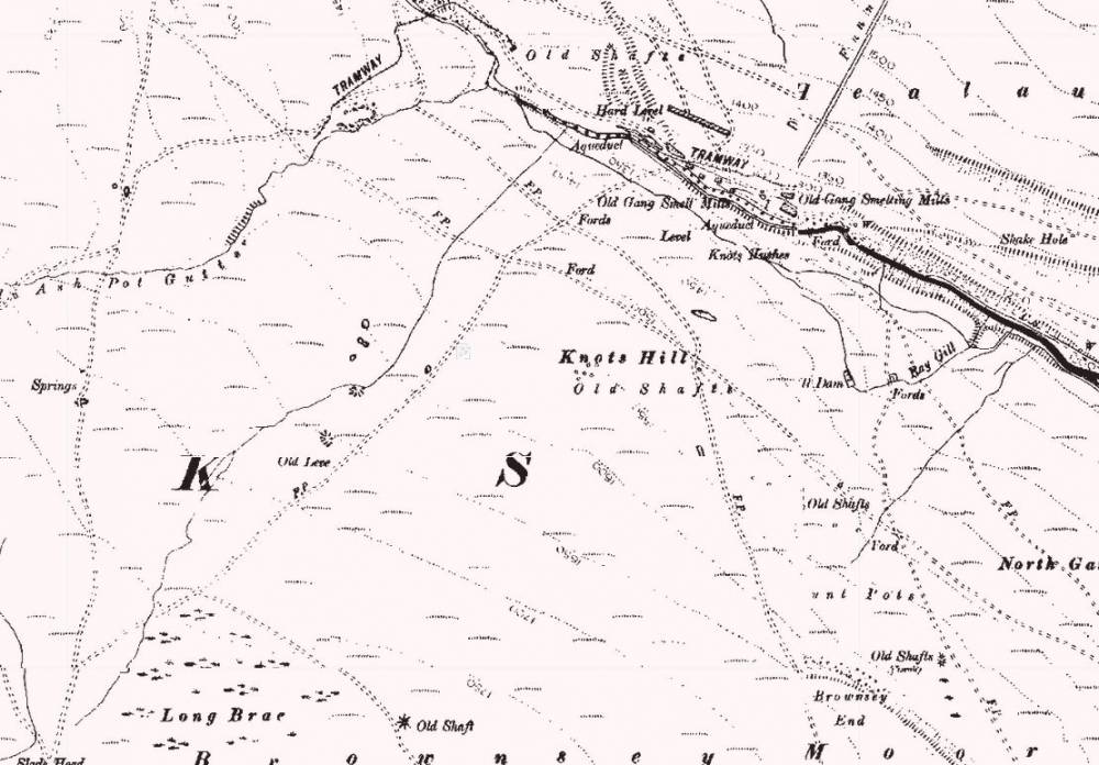
| Location | Long Brae, Brownsey Moor |
| Civil Parish | Melbecks |
| Brit. National Grid | NY 96704 00108 |
| Altitude | 502M |
| Record Name | Long Brae Level |
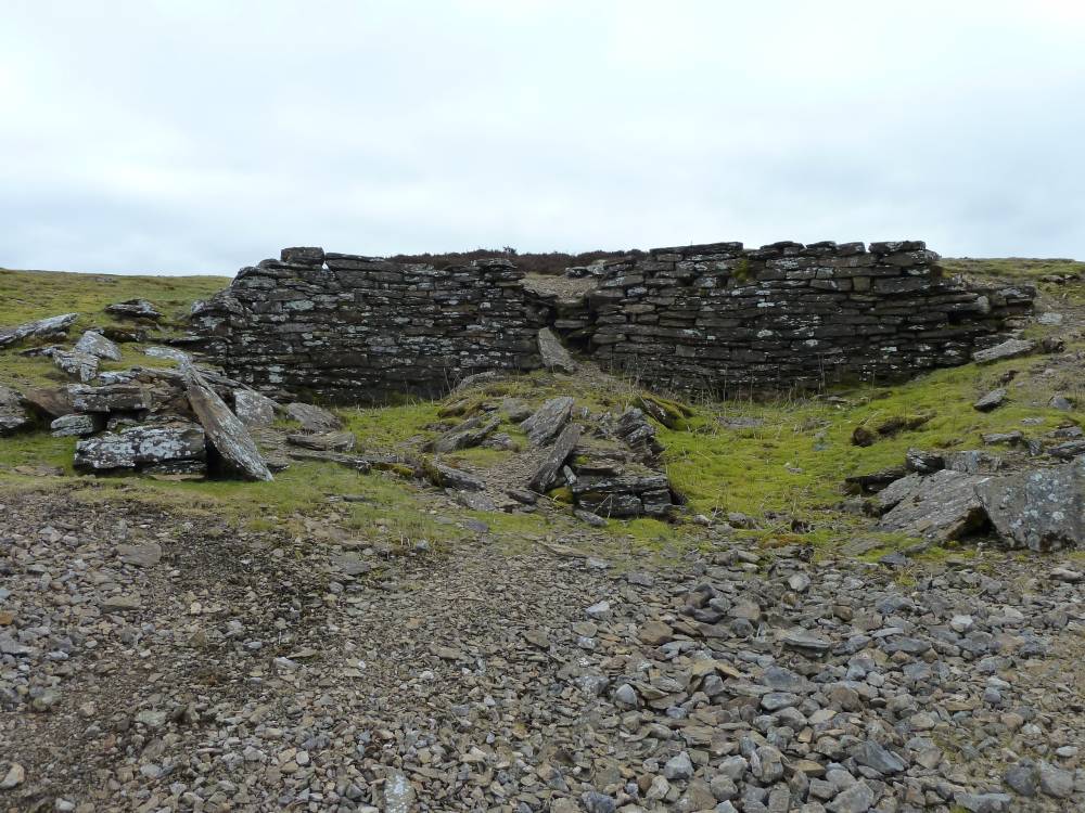
| Record Description | Long Brae Level was driven in May 1871 between the Main Chert and the Black beds towards the southern end of the Watersykes vein. Unfortunately Watersykes had little ore here and it was never worked. The level was driven at 42 feet per week which was a very high rate at the time. The level was in excess of 500feet long.
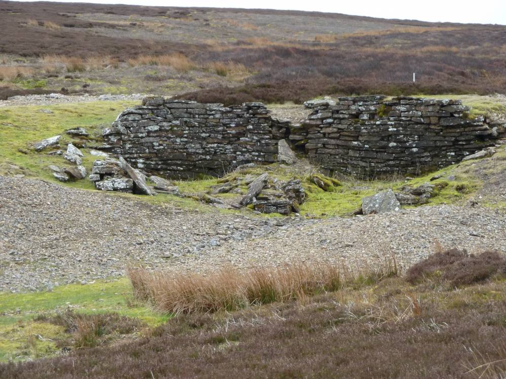
The level entrance is not obvious but I suspect the ridge of stones in a line in the centre of image 5 marks the entrance which has since either been sealed or collapsed. |
| Image 1 ID | 2385 Click image to enlarge |
| Image 1 Description | Long Brae Map | 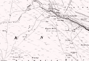 |
| Image 2 ID | 2370 Click image to enlarge |
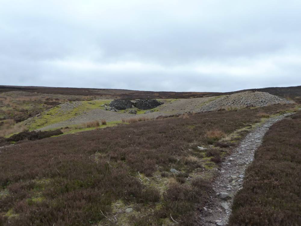
| Image 2 Description | Spoil Heap | 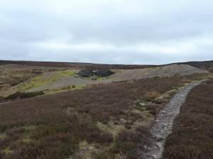 |
| Image 3 ID | 2371 Click image to enlarge |
| Image 3 Description | Long Brae Level | 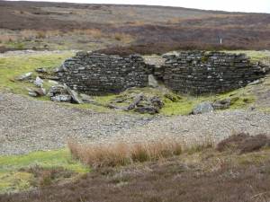 |
| Image 4 ID | 2372 Click image to enlarge |
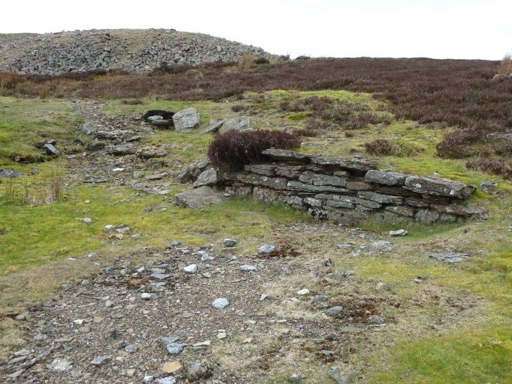
| Image 4 Description | Area to the north of Long Brae Level |  |
| Image 5 ID | 2373 Click image to enlarge |
| Image 5 Description | Long Brae Level | 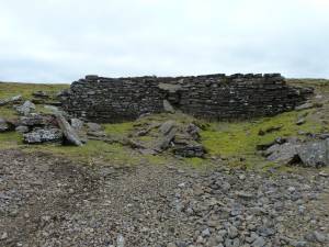 |